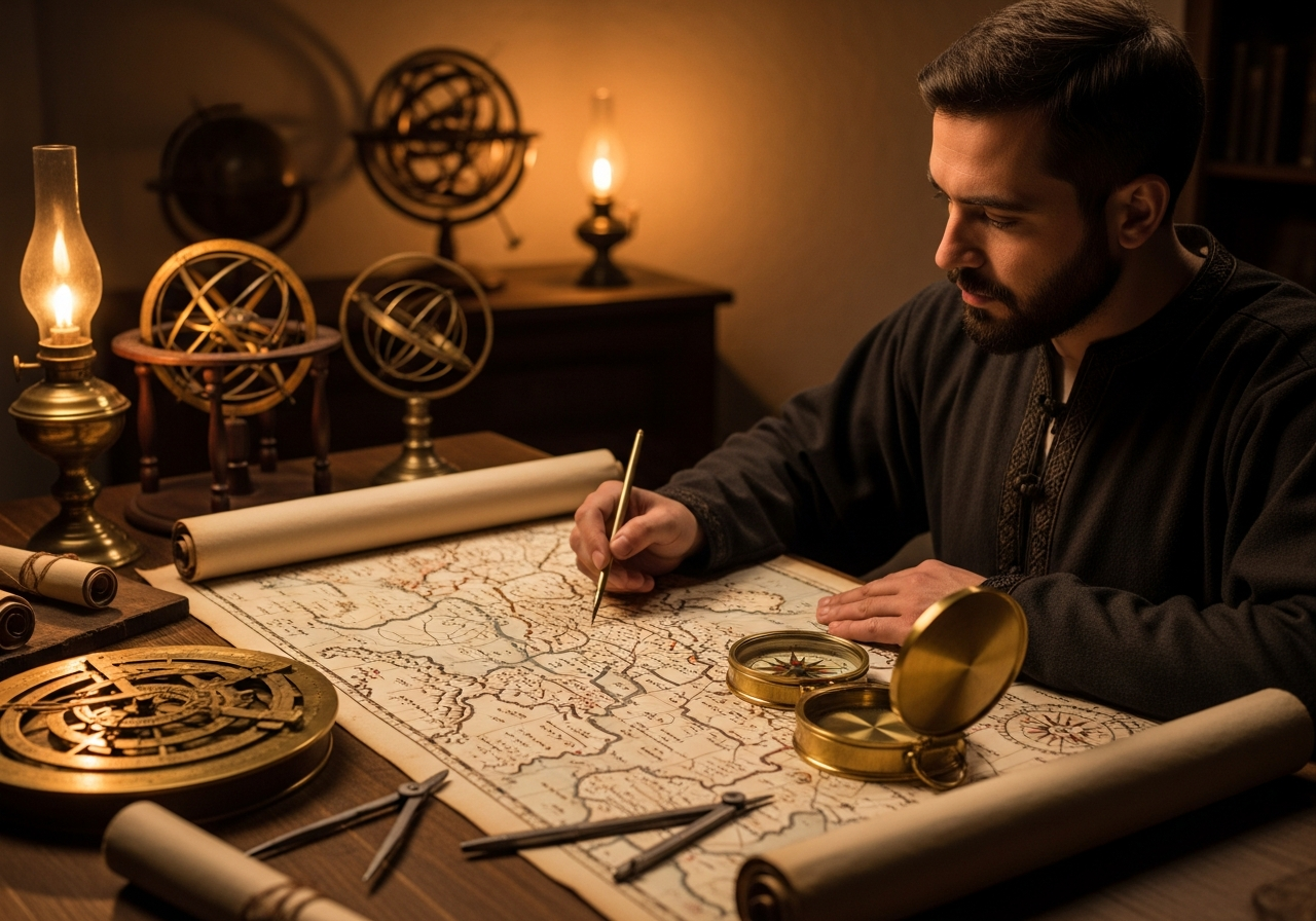
Born in Ceuta in 1100, Al-Idrisi created the most accurate world map of the medieval era, the Tabula Rogeriana, which remained a reference for 300 years.
Muhammad al-Idrisi (1100–1165) was a Moroccan geographer, cartographer, and scholar who created the most advanced world map of the medieval era. Born in Ceuta, he studied at the University of Córdoba and traveled extensively before settling at the court of King Roger II of Sicily.
**The Tabula Rogeriana (1154):**
After 15 years of collaboration with King Roger II, Al-Idrisi completed his masterpiece — a comprehensive atlas dividing the known world into 70 sectional maps. Completed by his geographic encyclopedia "The Book of Roger," it represented the most precise understanding of world geography for centuries.
**Innovation:**
Al-Idrisi combined Islamic geographic knowledge (covering Africa, the Indian Ocean, and the Far East) with Norman exploration data from Europe. His descriptions of the Nile river system closely matched the 19th-century discoveries by explorers Baker and Stanley.
**Legacy:**
His work remained a reference for 300 to 500 years. In recognition of his contributions, NASA's New Horizons mission named a mountain range on Pluto "Al-Idrisi Montes" in his honor.